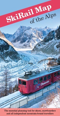
SkiRail Map of the Alps
The idea for the 2theAlps began back in 2011 with the launch of the SkiRail Map of the Alps (published through Roger Lascelles (Maps) Ltd) which set out to help people to travel to, and in, the Alps by train.
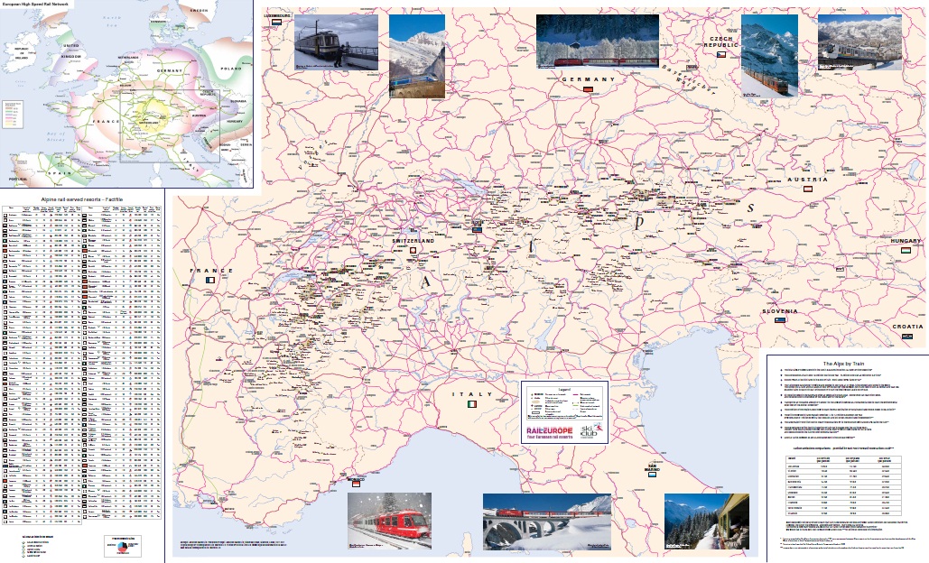
Charting the position of over 440 resorts across the Alps from Lyon to Ljubljana, and Milan to Munich, this clear and detailed winter-sports map of the Alps remains the first to focus specifically on rail routes through the Alps, enabling travellers to plan their journeys to winter sports resorts by train from the UK or an Alpine airport.
Scale: 1: 1,400,000
Format: Folded single-sided map with insert booklet
ISBN: 978 1 85879 6918
Sheet size: 1180 x 720mm
Published: 2011
Publisher: Roger Lascelles (Maps) Ltd
Price: £8.95
- The entire Alpine Region at an approximate scale of 1: 1,400,000
- clear mapping showing the rail network through the Alps and the location of over 400 ski resorts
- detailed information on over 100 ski resorts directly accessible by train including extent of downhill and cross-country skiing, altitude range and vertical drop, number of lifts, difficulty of skiing, rail journey times to the nearest major city
- rail routes to the Alps from over ten European countries with approximate journey times
- free booklet containing detailed resort and country information plus contributions from Rail Europe and the Ski Club of Great Britain
UK customers (£1.50 P&P)
Outside UK (£3.30 P&P)
We can combine postage for multiple orders. Please contact us